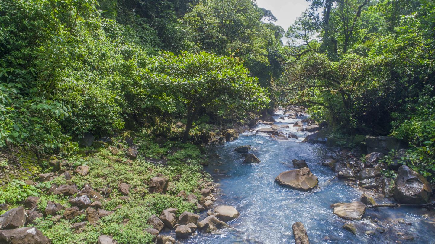
tenorio volcano national park
This park is located in the volcanic mountain range in Guanacaste and is home to lowland mountain rain forests, tropical wet forest, and the very wet premontane forest. Its highest point measures 6,289 ft. above sea level. Some of the more prominent plant species include palm trees, ferns, bromeliads, and orchids. White-faced monkeys, anteaters, pumas, tapirs, and peccaries as well as exotic bird species like trogons and the three-wattled bellbird are sighted here. This area has a park, potable water, restrooms, lodging for researchers, an information desk, trails, and lookout points for your convenience.
hours of operation
contact
+506 2206-5369 Parque Nacional Volcán Tenorio, Bijagua, 50802, Guanacaste, Costa Rica
directions
By car: Take the General Cañas Highway towards Puntarenas. Continue on the Inter-American North to Cañas. About 10 km after Cañas, turn right towards Bijagua. Once you are in the community of Bijagua, turn and head 9 kilometers east in front of the sawmill. You can also take Route 27 to Caldera from San José, which takes approximately 3.5 hours driving. From the Daniel Oduber Quirós International Airport in Liberia, follow the road to Liberia, and once at the intersection of Liberia continue towards Bagaces/Cañas. About 10 km (6 miles) before Cañas, turn left towards Bijagua. Once you are in the community of Bijagua, turn and go 9 kilometers east in front of the sawmill. Also, from Liberia it is about a 1.5-hour drive.
Another alternative route is to take the Inter-American Highway from San José to Ciudad Quesada (San Carlos) and then on to Upala. In Upala, turn left towards Bijagua and continue for 48 km (30 miles) to the park entrance, the same one that is located in front of the sawmill in Bijagua de Upala from there it is 9 kilometers to the east. Another route is through San Rafael de Guatuso and continuing to the communities of Katira of Guatuso, Río Celeste and Pilón, where the park administration and entrance is located.
12905 km2 surface area


