about the region
This region of the country stretches from the city of Puntarenas to the mouth of the Río Barú in the area known as Dominical de Osa. It has three cities attractive to tourists and well developed for tourism: Quepos, Jacó and Puntarenas. The region also comprises the islands in the Gulf of Nicoya, as these are mainly accessed from Puntarenas.
A wet and rainy climate allows for greater biodiversity in the beaches and hills next to the coast; thus, there is a transition from tropical wet forest to tropical forest to tropical dry forest. These ecosystems provide habitat for numerous plant and animal species that are protected in several wilderness areas. Also included within this zone is Isla del Coco, which, though almost 600 kilometers from the port of Puntarenas, falls under this province’s jurisdiction.
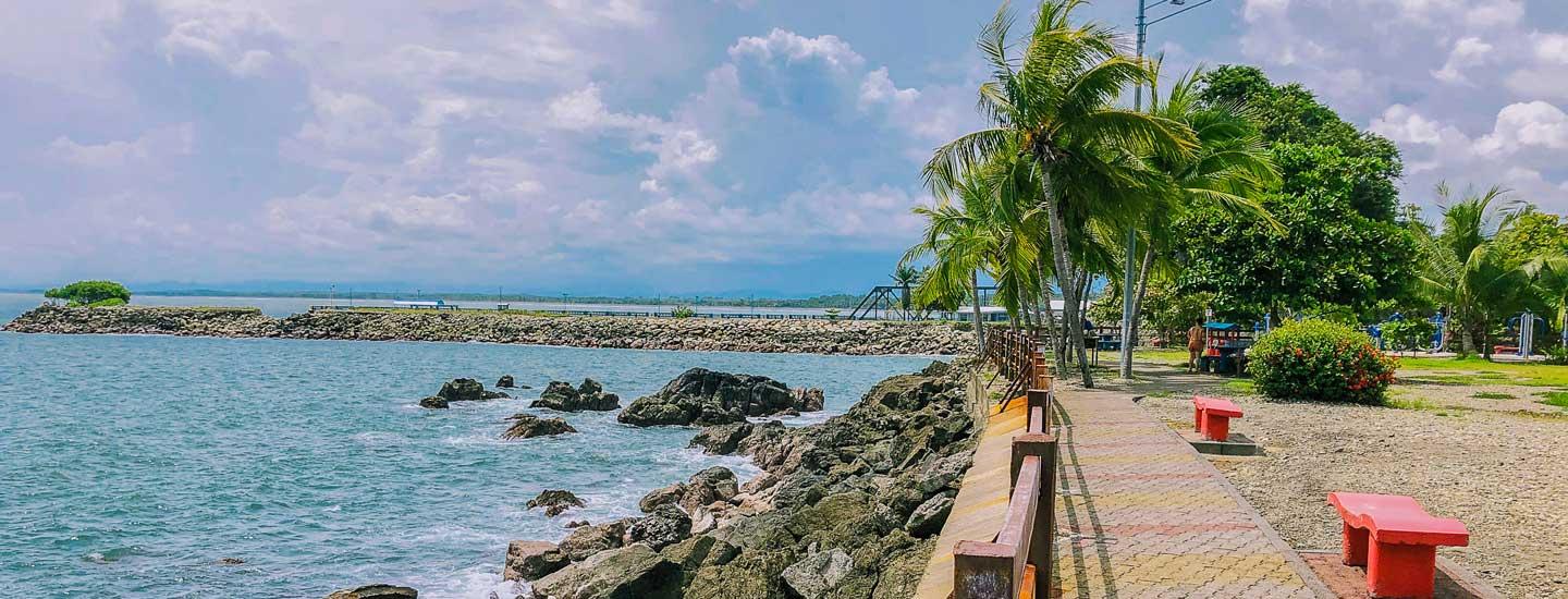
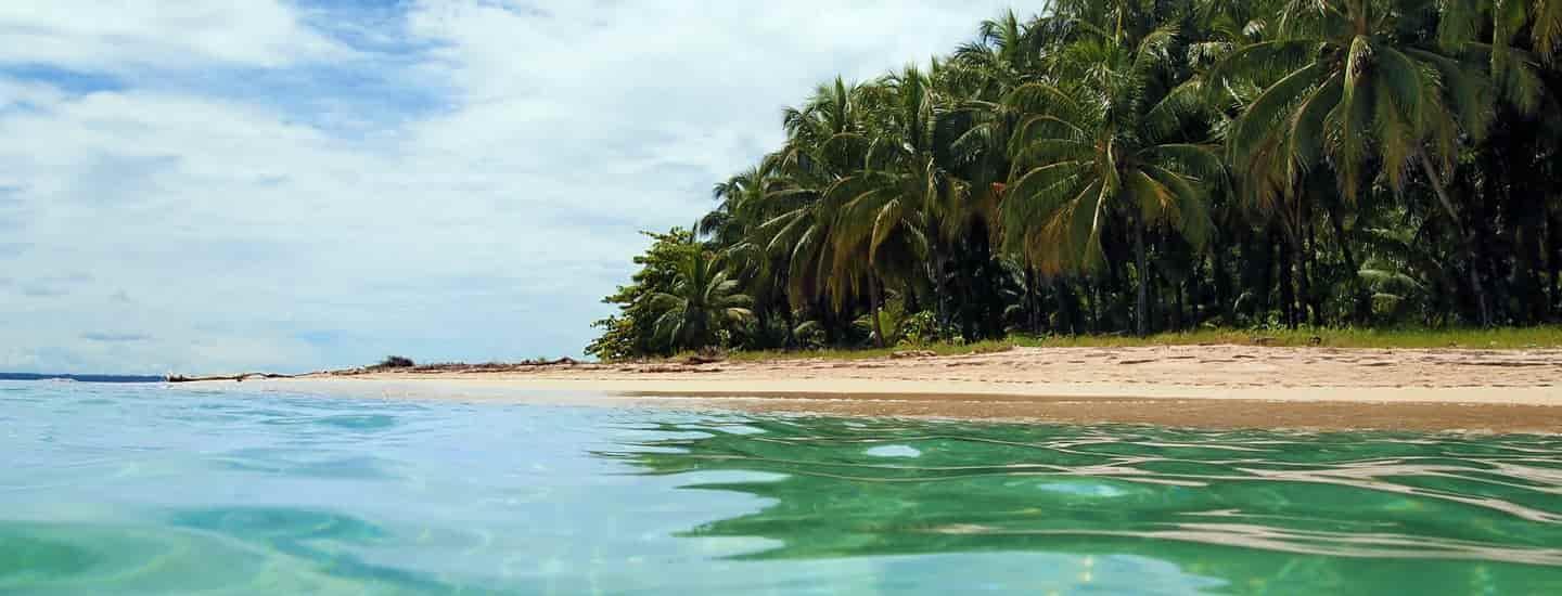
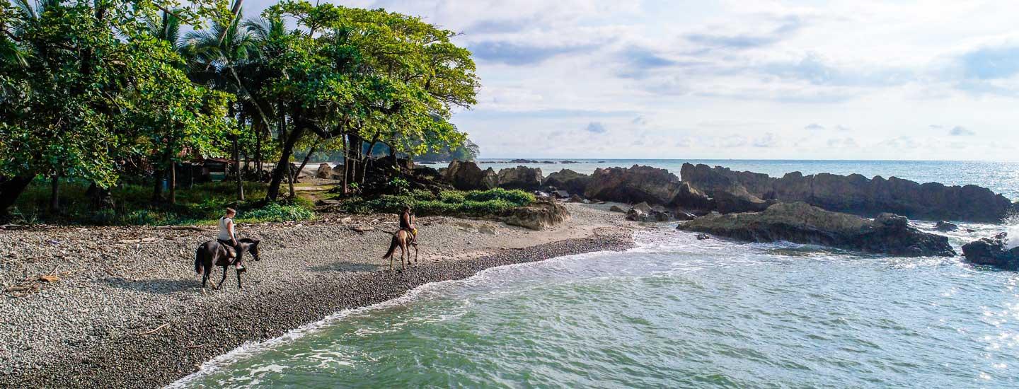
The region’s main attractions are its coast and protected wilderness areas. The coast is made up of numerous beautiful beaches, several of which are less than two hours from San José, allowing for quick access. With regard to wilderness areas, the region features wildlife refuges, national parks and biological preserves.
Other important attractions are of cultural and recreational interest, including the various organized events—especially sporting events—that distinguish the region. Also worthy of note is the scenic beauty along the coastal highway that connects the Caldera area with the Quepos and Manuel Antonio region.
did you know...
Manuel Antonio National Park protects 12 islands that are excellent refuges for different species of seabirds.
175 km of waterways to explore
200 km of coastline to explore
2 protected areas where the forest meets the beaches
exploring the Central Pacific zone

planning your trip to Central Pacific
Central Pacific's top 10
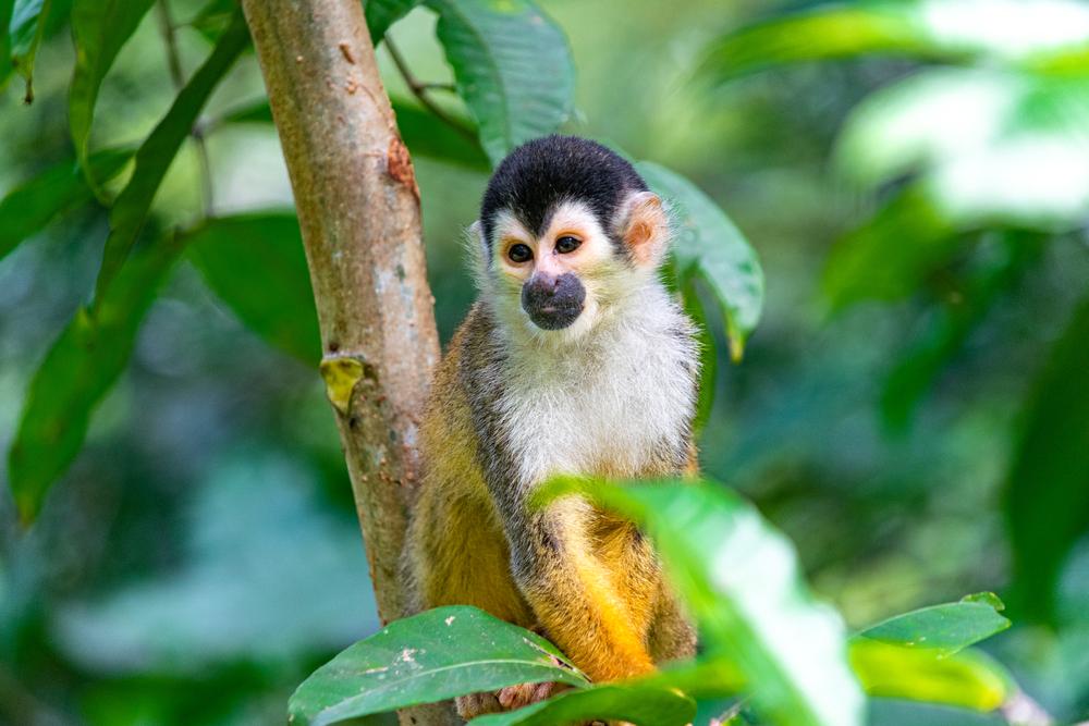
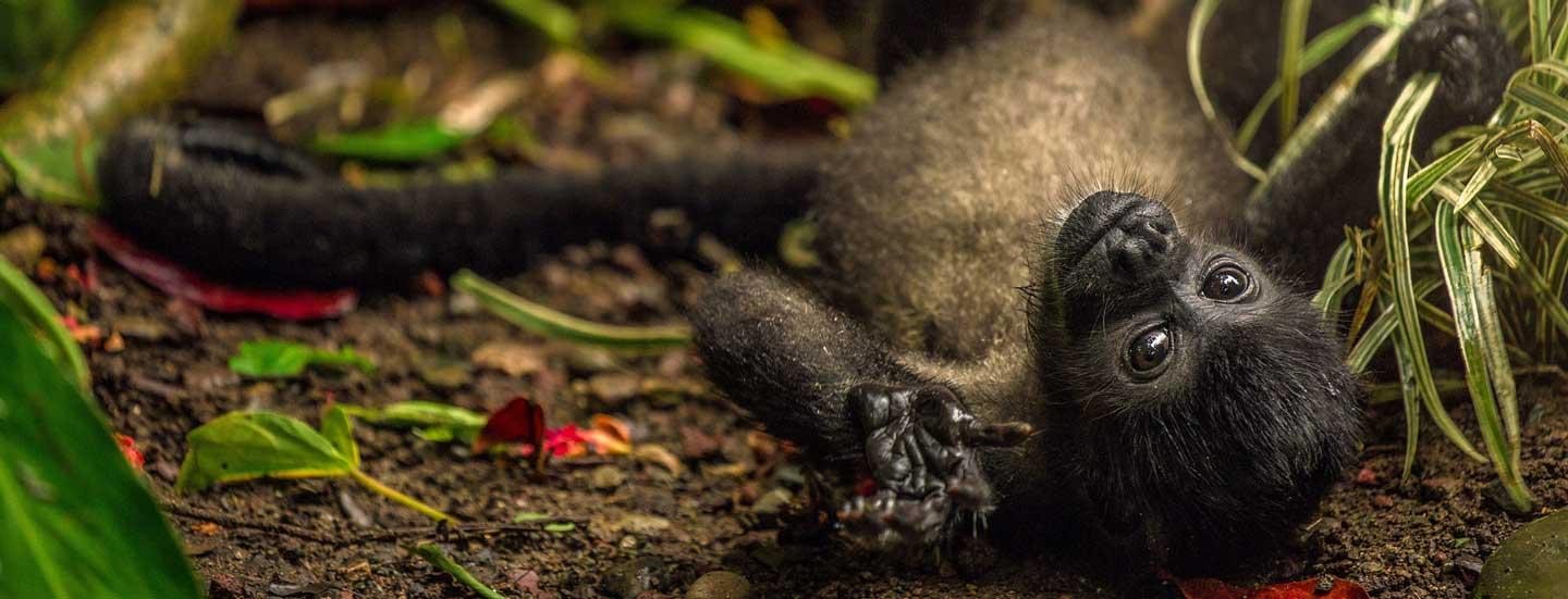
The town of Manuel Antonio is located in the coastal mountainous area of Central Pacific of Costa Rica. It has a very varied tourist offer, which includes hotels and it is internationally recognized for its originality and commitment to environment restaurants. At one end of town the Manuel Antonio National Park, the second most visited park in the country and a beautiful paradise for observation of flora and fauna, is located. The park has several trails and beaches that stand out for their white sand and turquoise and emerald waters. In this National Park visitors can see monkeys, sloths, deer and various species of birds and reptiles.
The bridge over the Tarcoles River is a mandatory stop for tourists wishing to visit the Central Pacific. Here you can observe a host of crocodiles, some even measure up to 3 meters long, this river is one of the most densely populated by these reptiles worldwide. The crocodiles can be seen from the bridge over the River Tárcoles. Near the bridge there are several establishments that sell typical food, fruits, and souvenirs. For the most demanding visitor, you can also make boat tours in the Tarcoles River to its mouth. The river is one of the most interesting places in the country to see herons, monkeys, sloths and of course crocodiles, through natural safaris. At its mouth is the Tárcoles Beach, where you can observe the picturesque boats artisanal fishermen and can take walks along the dark sand beach.
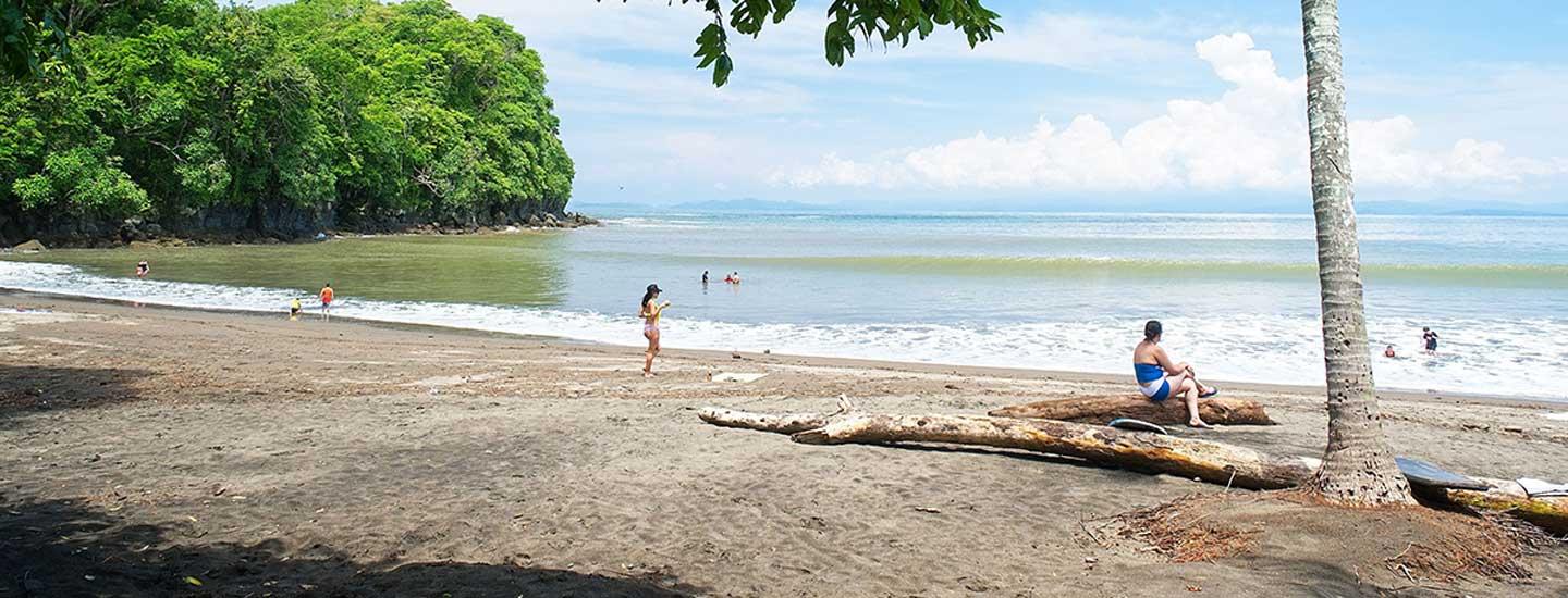
Jacó Beach is one of the easiest beaches to reach from San Jose, as it is only 1 hour and 30 minutes from the capital. It is a bay about 4 kilometers long with strong currents and dark sand. Both the Escondida Beach and Jacó Beach can visitors venture into the surf as it has some of the best places for surfing in the country. Jacó is a small highly developed coastal city with a booming nightlife and one of the most diverse tourism offers in the country.
Esterillos is a very long beach (about 7 kilometers) and is divided by several streams, which is why it is named Esterillos Beach. The surf is quite strong, making it an excellent beach for surfing. It is divided into two areas: East Esterillos and West Esterillos; the rocky section of the beach is located west. In this rocky section of the beach stands the bronze sculpture, now green by saltpetre, a siren that looks out to sea, and a couple carved in stone. Also, this rocky area forms small pools of sea without waves to enjoy the calm waters and sun.
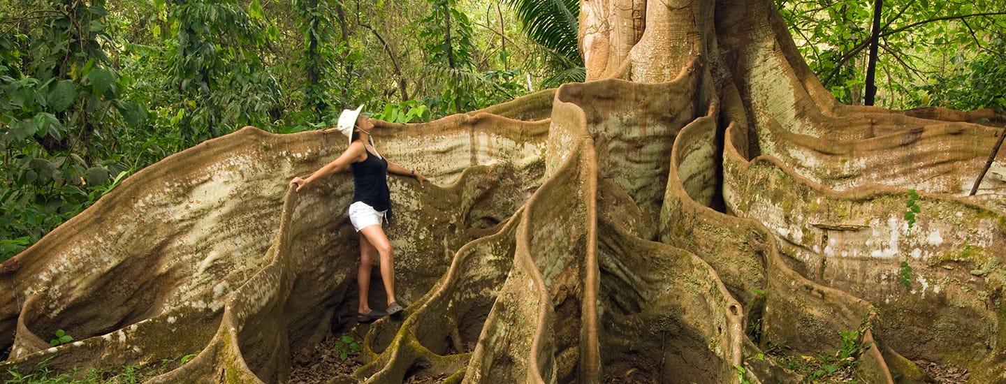
The Carara National Park is located southeast of Orotina in the Province of Puntarenas. It has an area of 4,700 hectares, and is home to three different types of forests: Tropical Rainforest, Tropical Wet Forest and Wet Forest. These forests empower it as an ideal location for observing flora and fauna, which is why environmental education is constantly being promoted and many scientific investigations are being conducted. Carara also has a universal path (1.2 kilometers) currently located in a national park, which allows access to both wheelchair bound and low vision patrons.
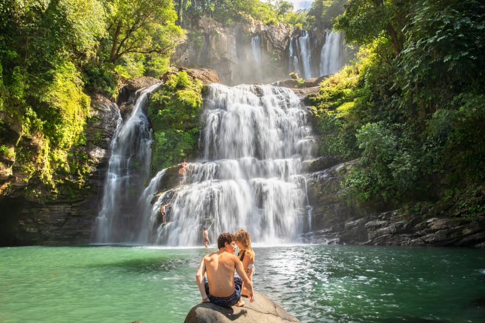
The Savegre River originates in the Cerro de la Muerte and descends several kilometers before emptying into the Pacific. It has established itself as the cleanest river in Costa Rica and some venture to say it is the cleanest of Central America since only 1,000 people live on the banks of the river and there are no industrial developments in the area that might contaminate them. The residents of the upper river, in San Gerardo de Dota, have been concerned about keeping it clean and protecting its forests. The river passes through several national parks and natural reserves, so it is home to wildlife such as tapirs, jaguars, and many species of birds, including the quetzal. Just two kilometers from the source of the river there are three beautiful waterfalls, in the middle, there is whitewater rafting and its lowest water estuary where you can see crocodiles and machacas, which are a species of fish related to the piranhas.
Just 6 kilometers from Jacó is Herradura Beach. Named for the shape of its bay (herradura translates to horseshoe). At one end is the Marina Los Sueños, which has 1,100 hectares of construction, a private natural reserve of 600 acres and an internationally renowned 18-hole golf course. At the opposite end is Herradura Island, a natural refuge for several species of seabirds. The beach boasts emerald waters and dark sand, a natural paradise for both domestic and foreign visitors. Sport fishing on the high seas of the Marina Los Sueños is recognized worldwide for being a luxury marina. . On several occasions they have carried out fishing tournaments in the area.
The estuaries Palo Seco and Damas are located in the province of Puntarenas a few kilometers from the city of Quepos. The Palo Seco River becomes a beautiful estuary at its mouth. The beach has a great length (over 8 kilometers) of dark sand and calm waters. Said stream joins the estuary Damas, and both become a home to a variety of flora and fauna. At one end one can observe Damas Island, a sea-river island of about 600 hectares that maintains a scenic beauty. There are boat tours from Manuel Antonio and Quepos through the mangroves of the Damas Island and estuary.
Baru Beach is a wide beach bordered by lush coastal vegetation. Located on the outskirts of the beach is the National Wildlife Refuge of the Silvestre Finca Baru Pacific, which is a private reserve, located 2 kilometers north of Dominical Beach, which also has a beautiful mangrove. During certain times of the year (September-October) you can see the nesting Kemp's ridley and hawksbill turtles. Because of the great natural beauty of the place, you can do mangrove tours, kayaking, hiking and horseback riding.
Orotina is a small orchard town in the province of Alajuela, just 30 minutes from the Pacific coast. It is famous for the large number of tropical fruits and vegetables that can be found in the area. Additionally, this town hosts the national fair of fruits that is held every year in March. Its climate is hot, so agriculture is an activity that occurs very well. San Mateo and Orotina are popular spots to stop on the way to Atenas or Quepos, and enjoy the local food and crafts.


