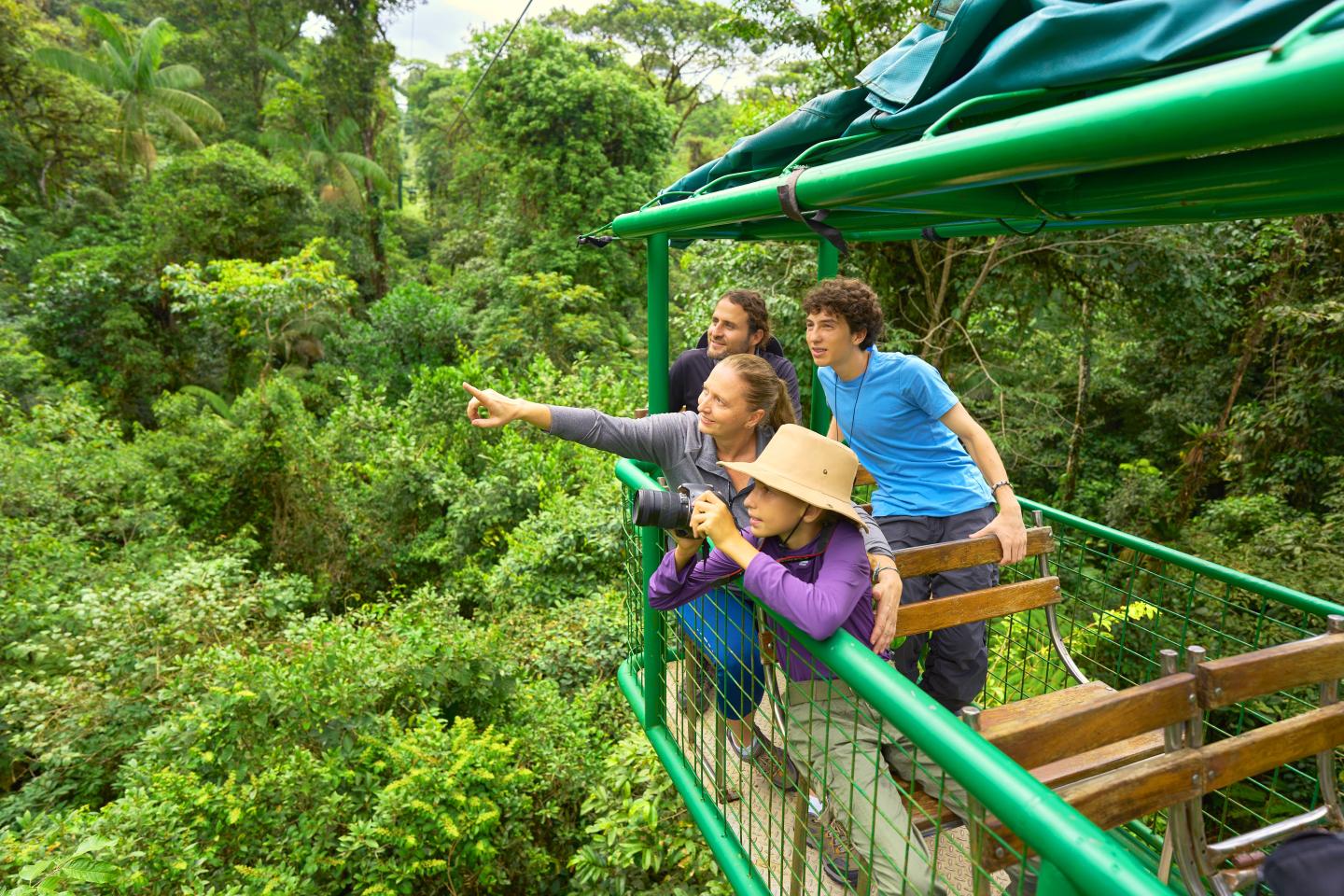
braulio carrillo national park
Braulio Carrillo National Park is located north of the Central Valley in the Central Volcanic Mountain Range, between the Poás and Irazú volcanoes. This wonderful natural treasure includes Barva and Cacho Negro volcanoes, and extends from Alto de la Palma, north of the canton of Moravia, to the La Selva Protected Zone in Puerto Viejo de Sarapiquí. Its maximum elevation is 2,906 MASL at the peak of Barva Volcano, and has a low temperature of 3° C and a high of 24° C. Due to the high altitudinal slope throughout the park, precipitation is highly varied, ranging from 2,500 mm on the slopes down to the Central Valley up to 5,734 mm on the Caribbean slope. Covering 50,000 hectares, Braulio Carrillo National Park is one of the largest protected areas in Costa Rica, located in one of the country’s steepest topographical regions. The landscape consists of tall mountains densely covered by forests, and multiple canyons with rivers and streams that are of great importance for hydroelectricity production. Braulio Carrillo National Park has two sectors for public use: Quebrada González and Barva Volcano, which both have visitor facilities. The Ceibo Sector is for conservation and research only. This national park is named in honor of Braulio Carrillo, the third head of state who governed Costa Rica from 1837-1842. In 1977, construction began on the current San José-Guapiles highway. A year later, to prevent unchecked destruction of the forest, Braulio Carrillo National Park was created by Executive Decree No. 8357 on April 15, 1978, and ratified by Law No. 6280 on Nov. 14, 1978. Subsequently, Executive Decrees No. 17003 MAG (1986), 20358 MIRENEM (1991) and 22620 MIRENEM (1995), expanded the national park to a total of 47,586 hectares. In 2015, Executive Decree No. 39259-MINAE, published in La Gaceta No. 237 on Dec. 7, added to the national park a sector established by Law Decree No. 65 in 1888, increasing the park’s size to 50,000 hectares.
hours of operation
contact
+506 2206-5577 Parque Nacional Braulio Carrillo, Sarapiquí, 40301, Heredia, Costa Rica
directions
Quebrada González Sector: Located 42 km northeast of the capital, you can reach the Quebrada González Sector of the Braulio Carrillo National Park by taking Highway 32 toward the city of Limón. Barva Volcano Sector: Located 16 km north of the city of Barva de Heredia, passing through the communities of San José de la Montaña and Sacramento.
50000 hectares surface area


