about the region
With a total of 5,921 sq. miles and more than 400 miles of coast line, the Guanacaste tourism area comprises the Pacific Coast area from the border of Nicaragua to the Bongo River estuary in the Nicoya Peninsula. This tourism area is home to a very important section of Costa Rica’s cultural and natural heritage. This area boasts a significant number of protected areas including water, land, mountain, and coastal ecosystems that are teaming with life.
The incomparable beauty of its landscapes, which ranges from tropical dry forests to lowland mountain forests, its warm climate, as well as its flourishing nature have made Guanacaste one of the most heavily visited areas by locals as well as international tourists and is one of the most developed areas because of its high level of investment in the hotel industry that is in high demand. It also relies on important support by the Tourism Development Center of the Gulf of Papagayo and also relies on the Daniel Oduber International Airport through which arrive a number of charter and commercial flights from the United States.
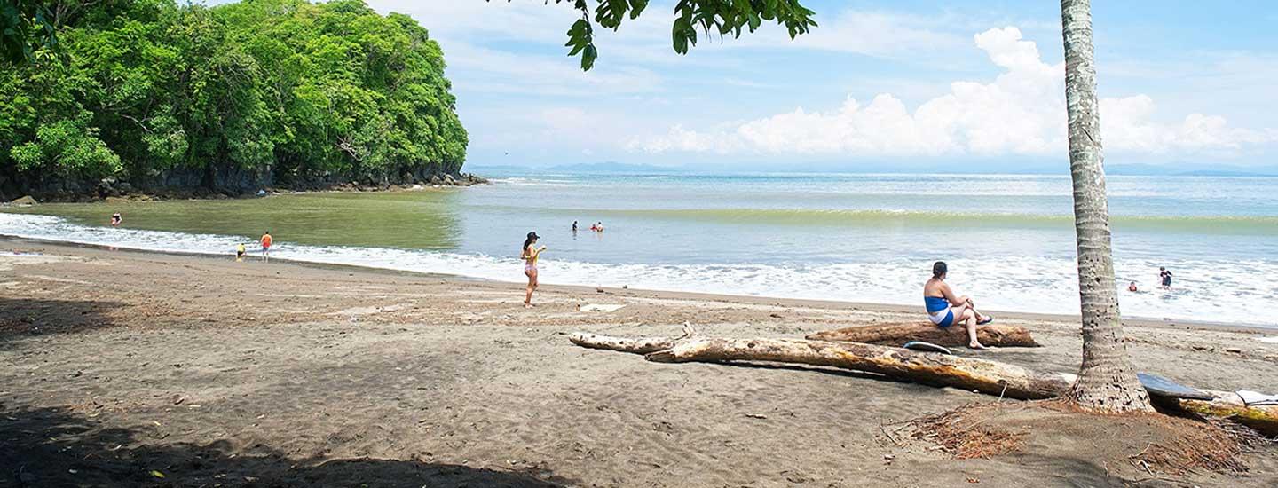
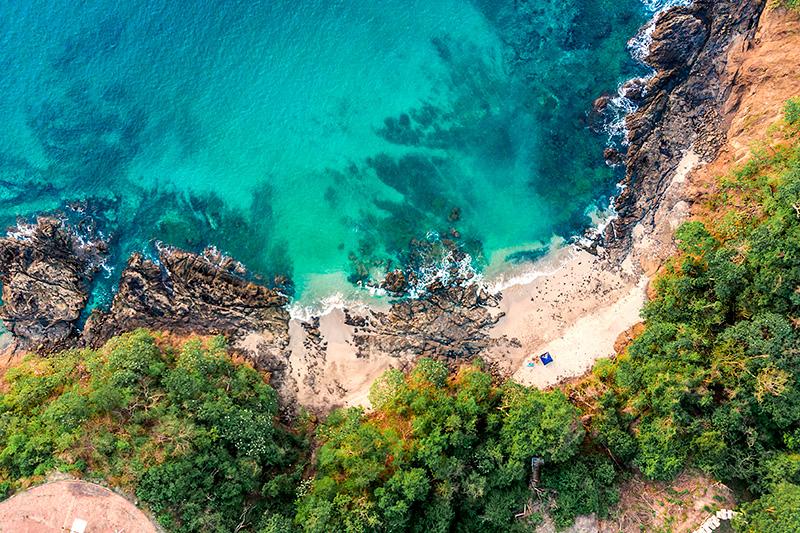
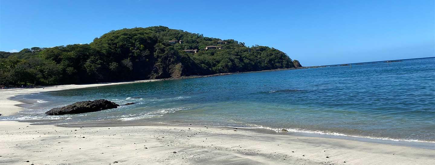
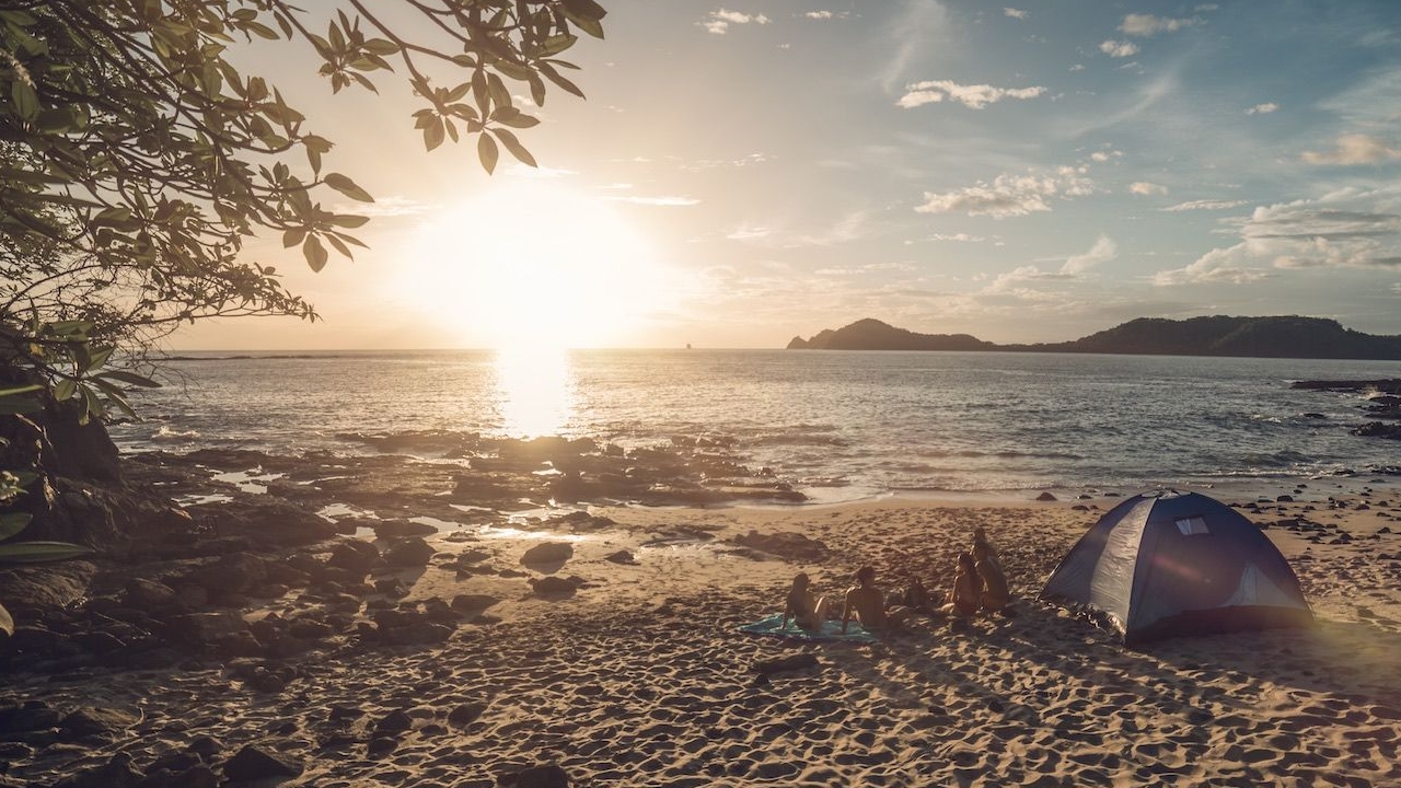
All along the Guanacaste coastline are a number of beaches where you can swim in their warm Pacific Ocean waters. The coastal landscape is exceptional. There is an array of white-sand beaches and calm, intense-blue waters.
There are two commercial centers located in the northern area: Liberia and Santa Cruz, which, in turn, are linked with five important tourism development centers: Papagayo, El Coco, Flamingo, Conchal, and Tamarindo. In the southern area, the commercial center is Nicoya with Samara being the development center.
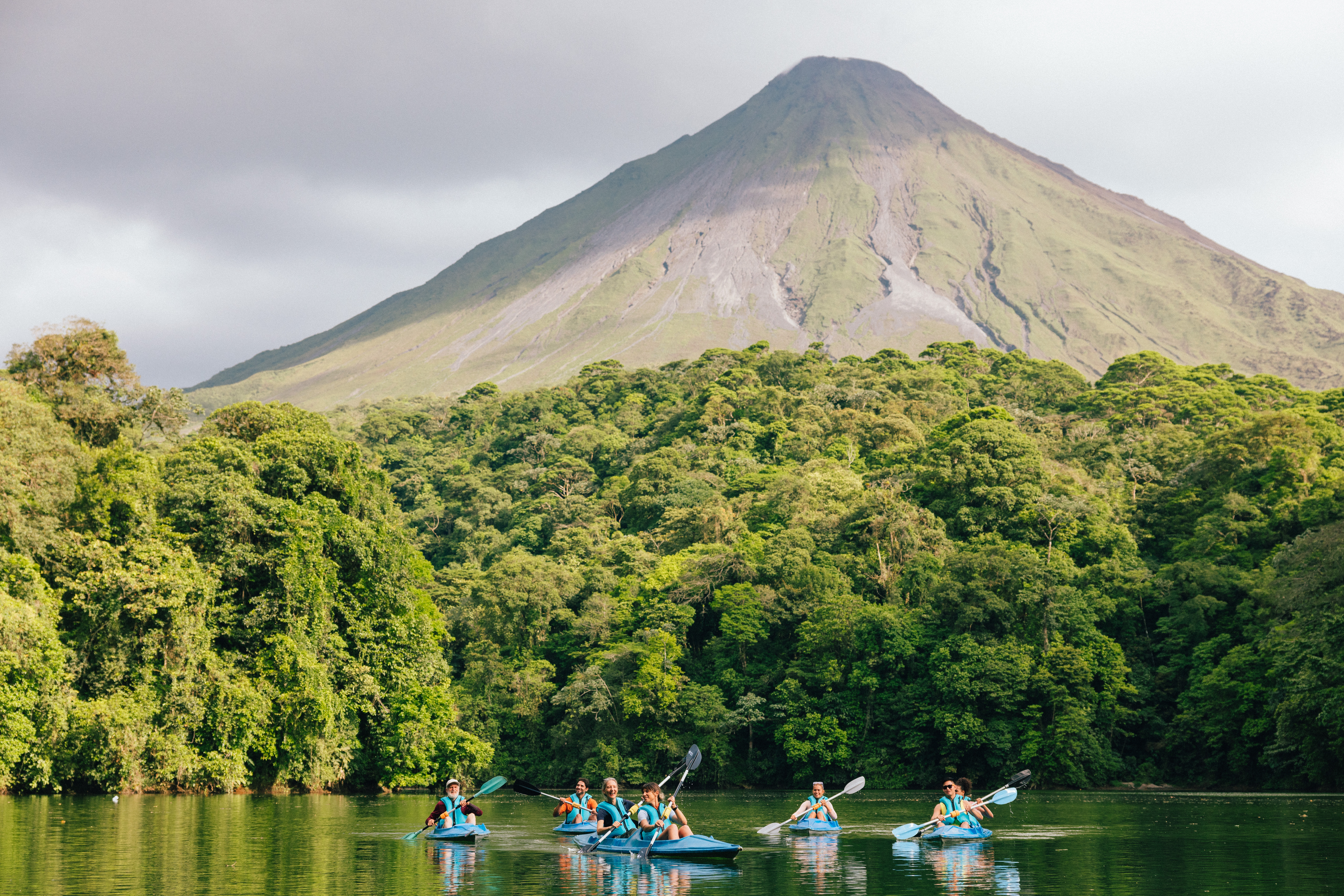
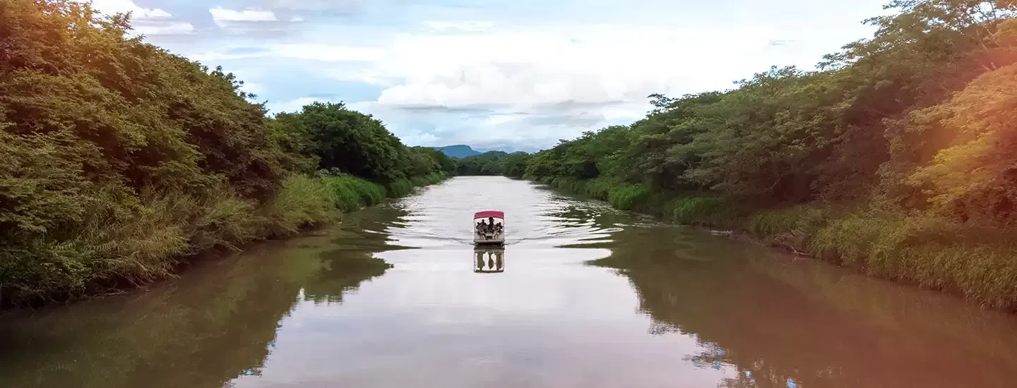
300 km of waterways to paddle
400 km of coastline to explore
8 protected areas ranges from tropical dry forests to lowland mountain forests
planning your trip to guanacaste
guanacaste's top 10
Tamarindo Bay is formed by the union of Playa Grande and Playa Ventanas. The bay is traversed by the Matapalo River and in the southern part of the horizon; you can see a rocky area and Captain Island. It is an area known for its beautiful beaches but also by its mangrove area or the Tamarindo estuary characterized by the vegetation of the area (oak savanna, tamarind and coconut, among others). Within the tourist area, you will find many restaurants with a wide range of international cuisine, plus hotels for all budgets and a very active nightlife. It is also one of the most famous surfing beaches. Playa Tamarindo has been awarded for many years with the Blue Flag Award, which recognizes the commitment to the environment by providing a clean and safe for visitors.
The National Park Rincon de la Vieja has an area of 14,083 hectares. It is a volcanic massif of 9 cones and a lagoon called La Jilgueros. The park can be accessed through both Liberia and Upala Buenos Aires. The massif has two distinct sectors: Las Pailas and Santa Maria. The first includes a set of trails that take you to various points of the volcano, including the path to the craters (Von Seebach and Rincon de la Vieja), the path to Las Pailas, the trail to the falls La Cangreja and Escondidas, the path to the White River pool, and the trail to fumaroles and mud volcanoes. The second sector, Santa Maria, includes a set of paths among which are: the path to the waterfall enchanted forest, the path to the Pailas sector, the path to the pails of cold water, and the trail to the hot springs.
The National Park Marino Baulas is located on the Nicoya Peninsula and includes several attractions that will catch your eye as Carbon Beach, Ventanas and Langosta, the Morro and Hermoso hills and mangroves San Francisco and Ventanas. It is a place of special importance because in this sector spawns the leatherback turtle, hence the name of the national park which translates to ‘The Leatherback Marine National Park.’ The leatherback is the world's largest sea turtle and is in danger of extinction. Costa Rica protects these turtles to keep their populations healthy and growing number of individuals.
Samara Beach is a bay about 4 kilometers long, with clear sand, gentle waves and an area of mangroves. It is recognized as one of the safest and most beautiful beaches in Costa Rica. On the horizon is Chora Island, right in front of the Punta Indio, where one can spot an area of coral reefs. The vegetation of the area is landlocked, so you can appreciate trees like the manzanillo, coconut palms, and creepers such as beach bean plants, among others. This beach, like Tamarindo, has received the Blue Flag Award for its commitment to the environment. In addition to its beautiful beach, the town of Samara offers many attractions and water activities such as surfing, fishing, snorkeling, diving, etc.
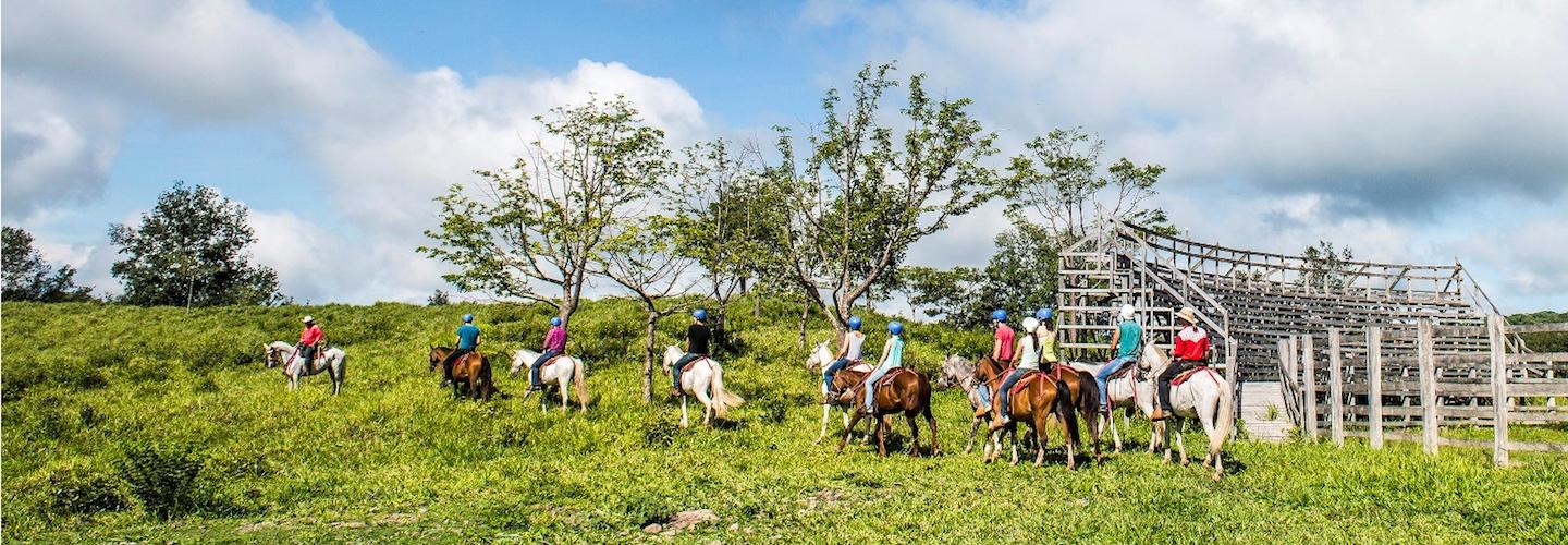
These beautiful beaches are characterized by their size and clear sand, in addition to its strong waves. Nosara Beach has a length of 3 kilometers and forms a beautiful mangrove in the Nosara River. One of the most outstanding tourist attractions in the area is Nosara Point, formed by a set of rocks where the waves break. Both Guiones and Nosara beaches have a good tourist offer that will allow you to enjoy horseback riding and boat trips through the estuary. Their strong waves make these beaches an ideal place for surfing, thanks to their beautiful landscape they have become a home for yoga and spiritual tourism.
Miravalles Volcano is located in the Guanacaste Volcanic Mountain Range, at an altitude of 2028 m.s.n.m. It is protected within the Protected Area. Near the town of Guayabo, several places offer hot springs of a yellowish color, laden with volcanic minerals to help you relax. In addition to its natural attractions, the Miravalles volcano is also used for geothermal energy, because it is one of the 7 active volcanoes of the country. In the Hornillas sector you can walk by a volcanic crater where you can see hot mud, fumaroles, and Sulfur Rivers while enjoying the healing benefits of these minerals.
Costa Rica is a country rich in natural beauty and because of its many rivers you can find beautiful waterfalls. One of the most beautiful in the country is the series of waterfalls, Llanos del Cortez. They are located near the town of Bagaces on the way to Liberia. To enter the place, one must detour on a dirt road for a few kilometers, and walk through a transitional forest. Among the peculiarities of this waterfall is the white sand beach that is formed by the sedimentation of the river and the pool of clear water to enjoy the sun and nature.
The Barra Honda National Park, in addition to offering several trails within the dry forest, also features one of the most beautiful caves in the country. It is a cave located a few kilometers from Nicoya and 450 meters high; therefore, in order to visit, one must descend several meters on a vertical ladder. The cave system of Barra Honda combines ancient coral reefs that emerged from normal lifting of the tectonic plates and the stalactite and stalagmite formations. Although the cave system has not yet been fully explored, one of which is open to the public (Velvet sector).
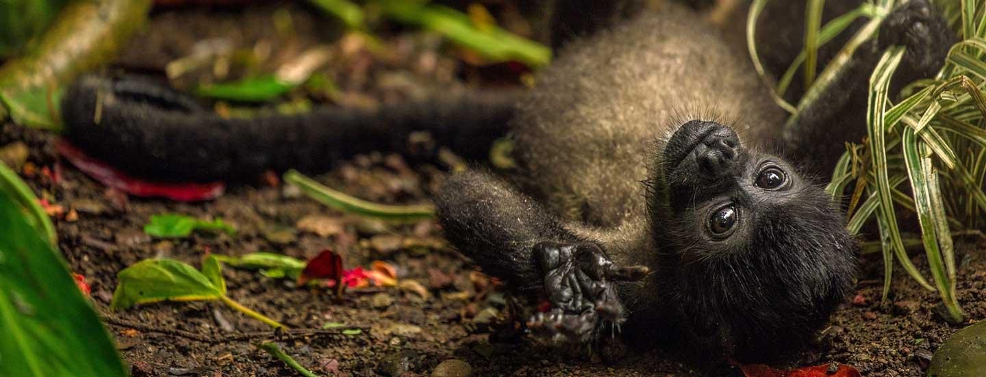
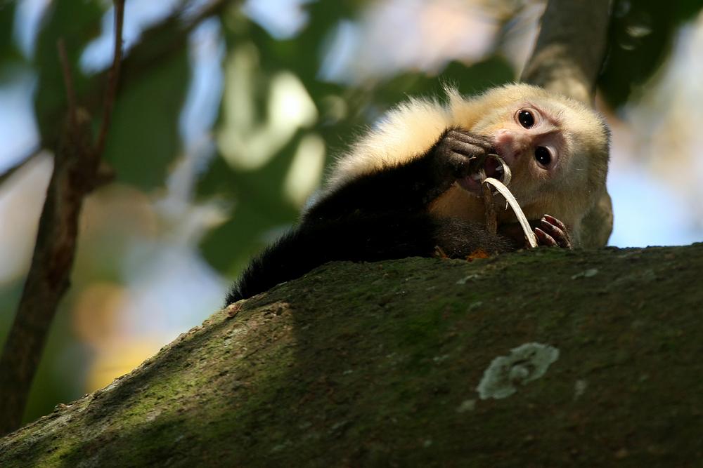
Located in the northern part of Guanacaste, Santa Rosa National Park protects a very important area of dry forest, characterized for being unique in Central America. It also has two sectors: Murciélago and Santa Rosa, each has beautiful beaches rarely visited, among which are: the Hachal, Danta, Coquito, Santa Elena, Blanca Naranjo and Nancite. The park is recognized for its wildlife; thus, in the vicinity there is a biological station that monitors animals such as white-tailed deer, howler and white-faced monkeys, sea turtles, reptiles and amphibians, among others. On the other hand, the park has great historical importance for the country, because here is where we find Casona de Santa Rosa, where the Battle of Santa Rosa occurred, and the Monument to the Heroes of 1856 and 1955.
The Cañas sector and its surroundings are rarely visited by foreign tourists but it is an area rich in tourist attractions. The city of Cañas is located in the plains of Guanacaste, on the road to Liberia. Some of the activities available in the area are: rafting on the Corobici River, hikes in the Pelado Volcano, and visit the archaeological site El Farallon which has great historical importance for the petroglyphs located on the stone wall near a river. It is a place that surely allows you to connect with the history of our people.
